Monte Roraima
In the Serra de Pacaraíma, at Roraima's far northern edge, on the Brazil–Venezuela–Guyana tri-border; the usual overland route to the summit begins in Venezuela.
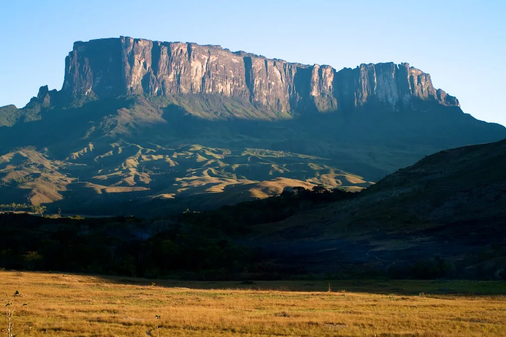
A sandstone tepui at the meeting point of three countries, where the hike ends on a mist-bound plateau of quartzite and highly specialized gardens. Reaching Mount Roraima means joining an expedition, not taking a scenic day trip.
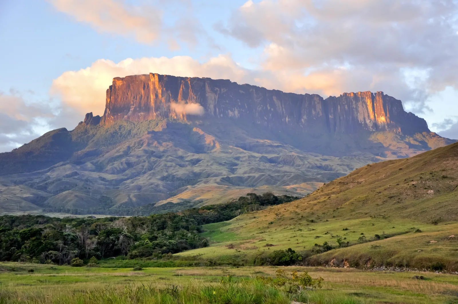
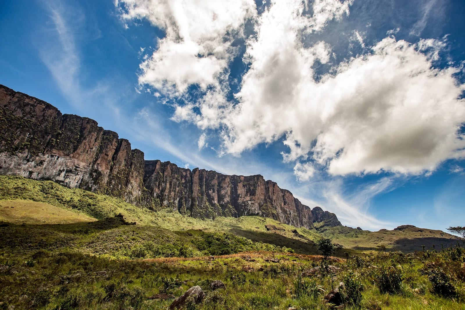
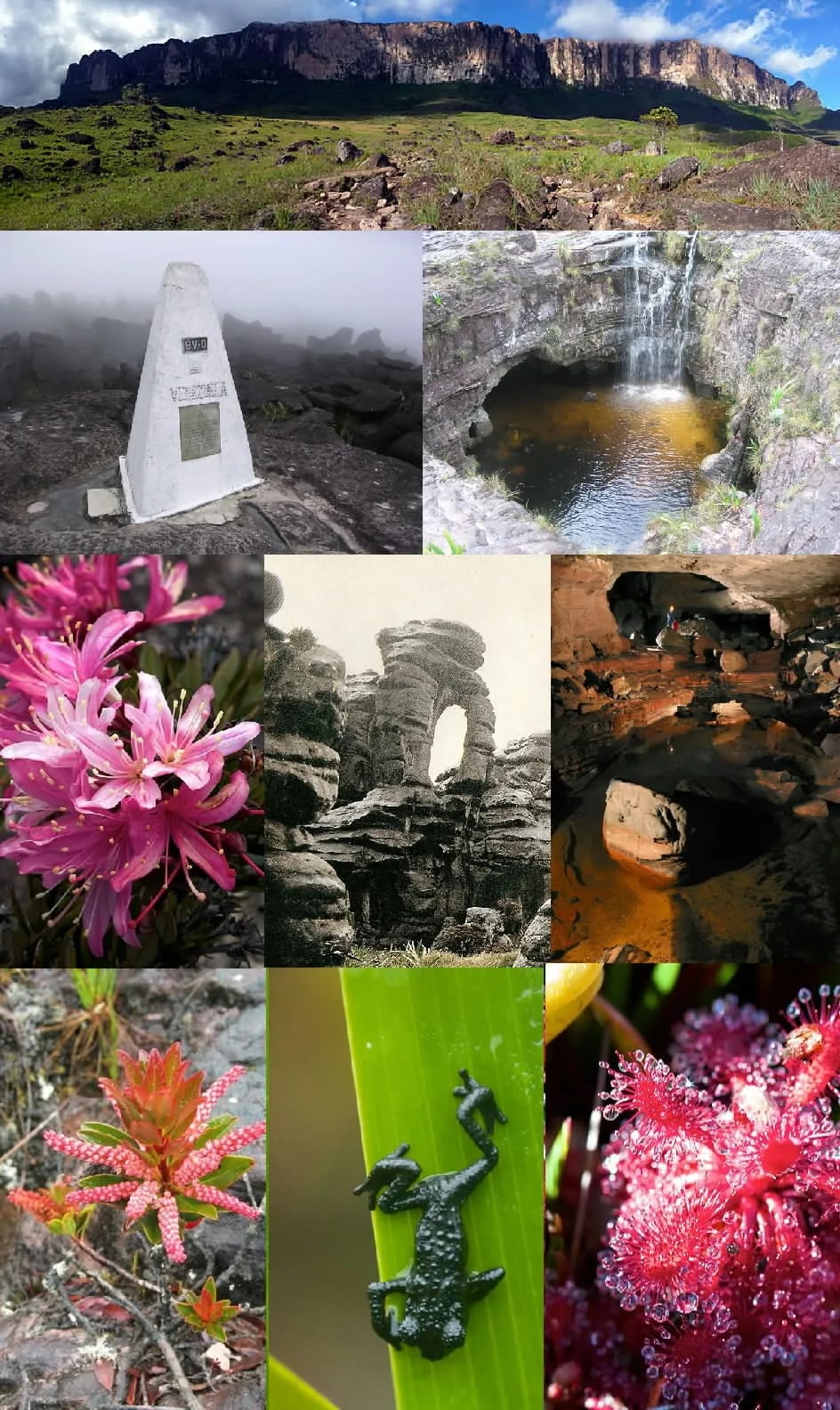
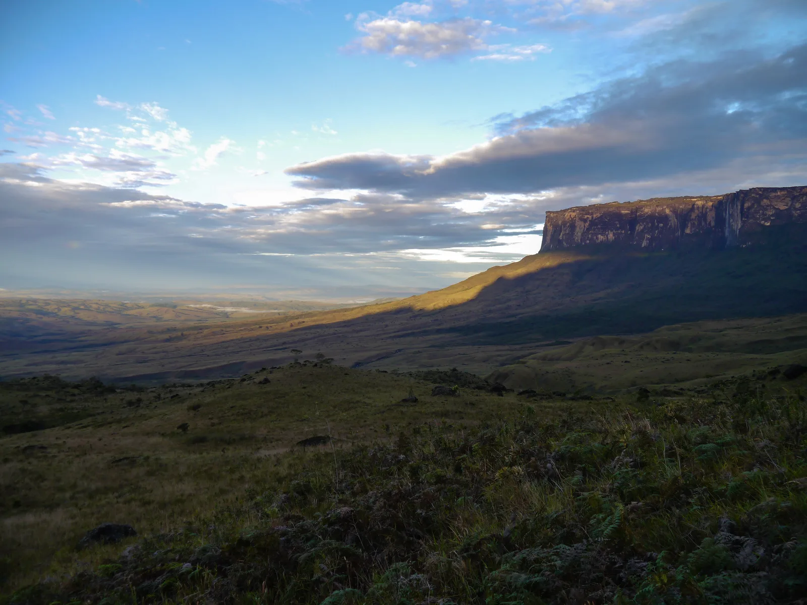
High on the Guiana Shield, Mount Roraima rises as a tepui — a tabletop mountain — above a world of rock, water, and vegetation adapted to altitude. Its sheer walls enclose a plateau carved into singular forms, threaded with streams, quartz slabs, and natural shelters used along the route. The classic journey starts in Paraitepuy, Venezuela, and crosses open grasslands to the Rampa, the natural passage up the escarpment and into the summit circuits.
🤔 Why does it matter?
It is one of South America's great trekking destinations, bringing together physical effort, a transboundary landscape, and a direct encounter with immensely ancient geology. Its scale is the draw: each day changes the terrain, the weather, and one's relationship with a mountain that remains culturally sensitive territory.
📍 What to see
- The tri-border marker beside Pedra Maverick.
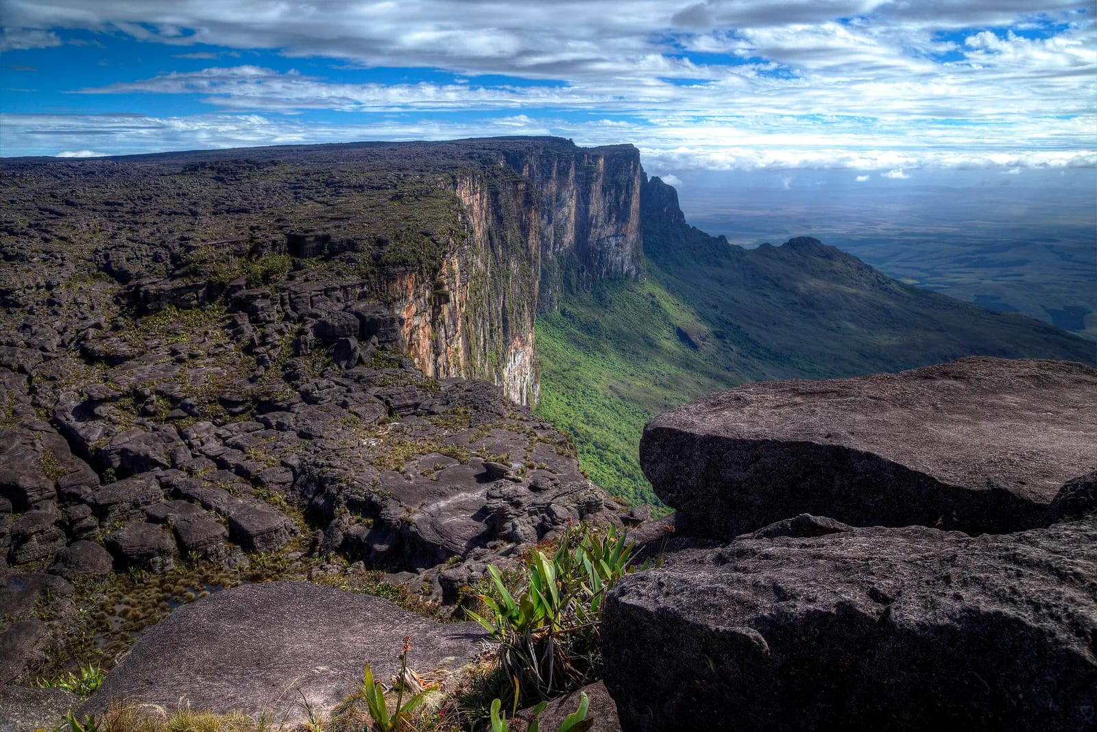
- The escarpments and the view across Venezuela's Gran Sabana.
- Vale dos Cristais, with quartz slabs and fragments.
- The Proa formations and natural panels carved by erosion.
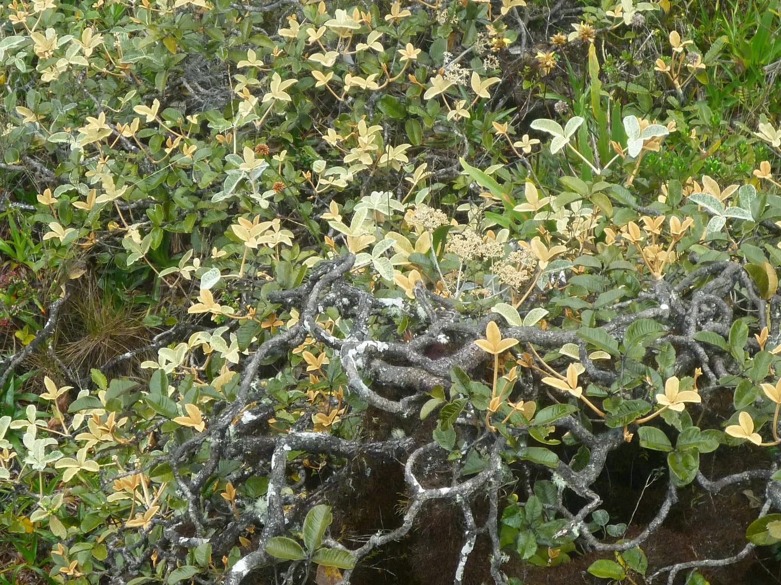
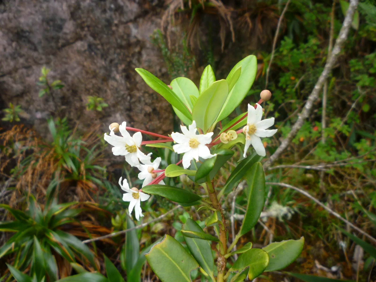
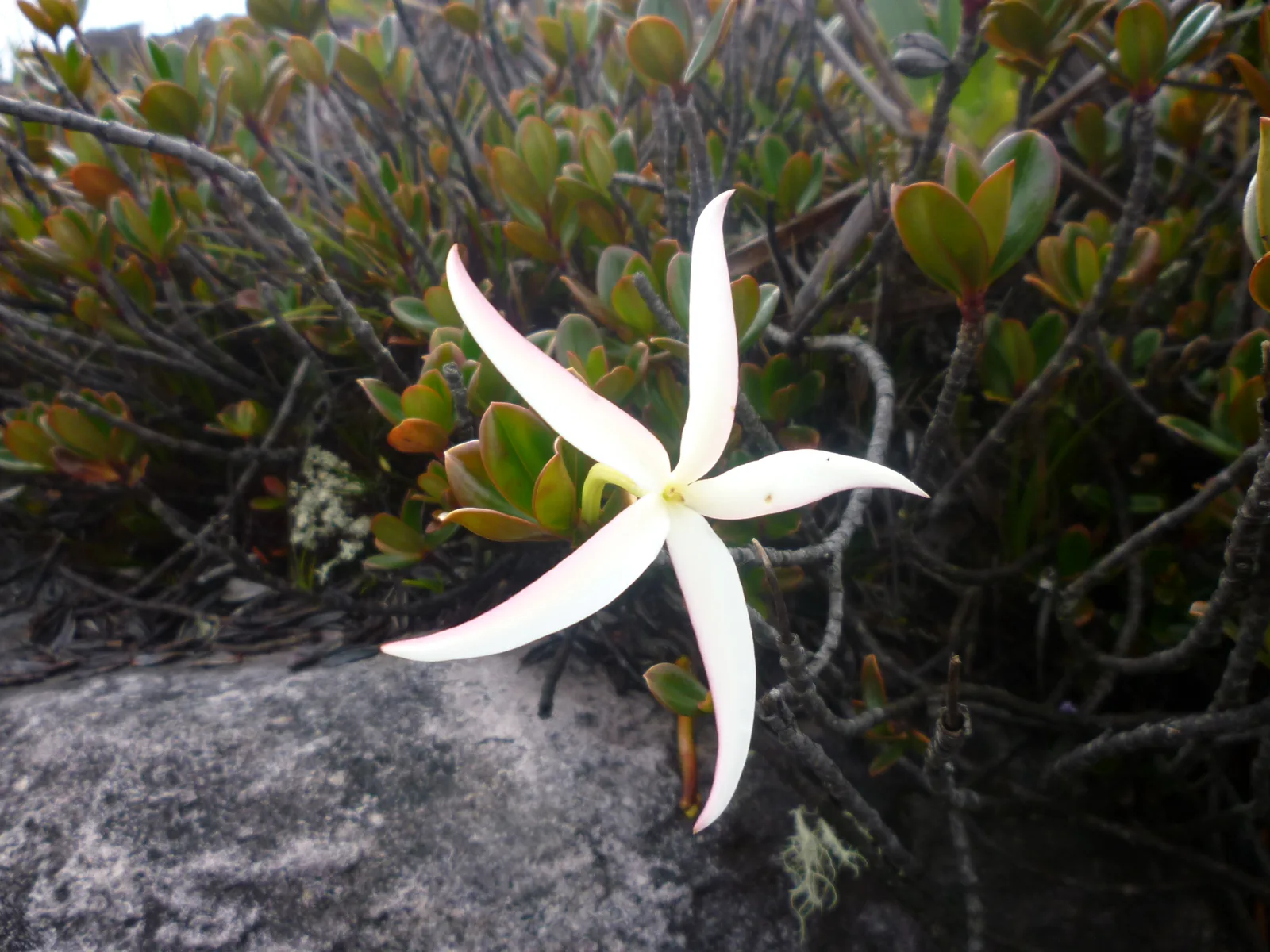
- Rock gardens of bromeliads, orchids, and carnivorous plants.
🎒 Things to do
- Walk the guided trail between Paraitepuy, the river camps and the summit.
- Explore the upper circuits with a guide familiar with the terrain and weather.
- Photograph the morning light when the cloud cover allows.
- Observe rocks, drainage patterns, and flora without leaving designated areas.
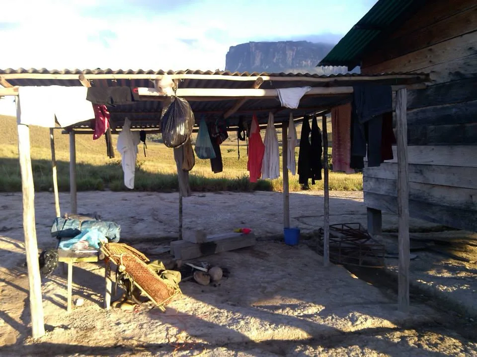
- Spend the night in a tent or in natural shelters permitted by the operator.
✨ Recommended experiences
- Classic seven- to eight-day expedition: transfer to Paraitepuy, a gradual ascent, two days of exploration on the summit, and a return by the same route.
- Geology-focused summit route: pair Vale dos Cristais, erosional formations, and Pedra Maverick with interpretation from a specialist guide.
- Photography immersion: leave room in the itinerary to wait for breaks in the clouds and photograph escarpments, streams, and the highland landscape.
- Low-impact journey: make the crossing in a small group, with a waste-management plan and attention to community and park guidance.
🍽️ Local cuisine
🎶 Soundtrack
- Roraimeira — Neuber Uchôa
- Poema Indígena — Eliakin Rufino
- Flor do Campo — Zeca Preto
🎭 Local culture
🌿 Nature nearby
🌎 Biomes
🏞️ Natural features
🐾 Wildlife you may spot
🌱 Plants you may see
📅 Best time to visit
From December through March, the comparatively drier season usually offers the most favorable window for the crossing, though rain and mist can occur in any month.
- ✅ Best time:
- December through March, when trails tend to be less waterlogged and visibility is more likely.
- 🟡 Shoulder season:
- September through November, during the transition toward the drier period.
- 🔴 Less recommended:
- April through August, when rain tends to be more frequent and rivers can make hiking difficult.
- 📝 Notes:
- Plan for flexibility in response to unsettled weather, river levels, and the guide's safety decisions.
🧭 Getting there
🏙️ Base city: Santa Elena de Uairén, Venezuela, with Brazilian logistical support in Boa Vista and Pacaraima.
✈️ Airport: Boa Vista International Airport, Atlas Brasil Cantanhede, BVB.
- Fly to Boa Vista and arrange supplies, equipment, and reservations before continuing by road to Pacaraima.
- Complete immigration procedures between Pacaraima and Santa Elena de Uairén in accordance with the rules then in force in both countries.
- From Santa Elena, arrange a transfer in a suitable vehicle to Paraitepuy, the starting point of the traditional trail.
- The ascent is on foot, usually with a local team, intermediate camps, and progress via the Rampa.
🚗 Local transportation
- Overland transfers and four-wheel-drive stretches on access roads
- Several days of hiking through grasslands, river crossings, a steep ascent, and a circuit across the plateau
- Porters may be hired, depending on the operator and the traveler's capacity.
ℹ️ Practical information
- 🏗️ Infrastructure:
- Remote, designed for self-sufficient expeditions
- 🏨 Where to stay:
- Hotels and guesthouses are available in the support towns; on the mountain, nights are spent in rustic camps or authorized natural shelters.
- 🍴 Food:
- Food arrangements for the crossing depend on the hired operator and individual planning; bring snacks and treated water as your guide advises.
- 🧭 Guides and agencies:
- Book with a formal operator and an experienced local team able to manage the route, camping, waste, and weather changes.
- 📶 Internet and signal:
- The support towns have connectivity, but do not count on cell service or internet during the expedition.
- 💰 Estimated cost:
- No single official price list was found; request a recent quote, as transport, exchange rates, porters, food, park fees, and documentation affect the final cost.
- 📝 Notes:
- No general opening hours or single ticket office were identified for the destination; before departure, confirm access conditions with the operator, the departure community, and the relevant authorities.
♿ Accessibility
Level: consult local operators
The crossing involves many days of hiking, uneven terrain, rain, river crossings, and camping without adapted facilities.
- Assess fitness, mobility, prior experience, and need for specialized support before booking.
- Discuss the group pace, carried weight, porters, and rescue alternatives with the operator.
- Do not treat the route as accessible to people with reduced mobility without professional evaluation and operational confirmation.
⚠️ Safety
🚨 Real risks
- Persistent rain, fog, wind and rapid temperature drop at the summit.
- Wet ground, slippery rocks, river crossings, and exposed edges
- Dehydration, exhaustion and injuries from load or continued exertion.
- Unexpected situations at the international border and remoteness from medical care
✅ Recommended care
- Travel with an experienced guide or operator and follow route or schedule changes set by the team.
- Wear grippy boots, thermal layers, waterproof gear, and dry bags.
- Treat water from natural sources and carry a reserve suited to that day's stage.
- Bring valid documents, appropriate insurance for the activity and personal first aid kit.
⛔ When to avoid: Avoid starting the trail without valid documentation or adequate fitness, or when there is a weather alert, an impassable river, a guide's advice against proceeding, or an access restriction.
📝 Checklist — what to bring
- Broken-in trekking boots with good grip
- Rain poncho, waterproof jacket, and base layer
- Sleeping bag suited to cold nights and a sleeping pad
- Daypack, backpack cover, and dry bags
- Filter or method of water treatment and reusable containers.
- Headlamp with spare batteries or a backup battery
- Sunscreen, hat, sunglasses and repellent.
- Passport, required documentation, cash for local expenses, and copies of documents
✈️ Travel tips
- Build extra days into your schedule before and after the trek for logistics, weather, and border travel.
- Test every piece of equipment on shorter hikes, and do not break in new boots on the expedition.
- Distribute weight, protect electronics from moisture, and reduce disposable items from the base town onward.
- Follow low-impact guidance: do not remove crystals, plants, or animals, and carry out every piece of waste.
- Confirm immigration and health requirements close to departure, as they may change.
💡 Fun facts
- Only about 5% of the mountain is in Brazil; most of it is in Venezuela and a smaller fraction in Guyana.
- The plateau covers approximately 31 square kilometers (12 sq mi).
- Brazil's highest point on the mountain has an official elevation of 2,734.05 meters (8,970 ft).
- At the top, erosion creates depressions, blocks, and natural sandstone sculptures.
🤔 Did you know?
- Accounts of Everard Im Thurn's expedition helped inspire Arthur Conan Doyle's The Lost World.
- Pedra Maverick stands beside the marker where Brazil, Venezuela, and Guyana meet.
- The mountain is called the mother of all waters because of its connection to headwaters that drain into different countries.
- IBGE reviewed measurements of Brazilian peaks and confirmed Mount Roraima's official elevation in 2016.
📜 History and context
Known for centuries to the Indigenous peoples of the region, the mountain was reached at its base by Walter Raleigh's expedition in 1595. Botanist Everard Im Thurn reached the summit from the Venezuelan side in 1884, an achievement that fed the imagination of later explorers. In Brazil, formal protection came with the creation of Monte Roraima National Park on June 28, 1989.
🌍 Global importance
Mount Roraima is a landmark of the Pantepui and the Guiana Shield: a Paleoproterozoic sandstone table mountain shared by three countries and surrounded by protected areas. The relative isolation of its high-elevation environments has favored specialized biological communities, while its geodiversity makes it a natural laboratory for the study of erosion, landscape, and conservation.
🗺️ Quick map (orientation)
📌 Main base: Boa Vista, for arrival by air and preparation, followed by Pacaraima and Santa Elena de Uairén for the international leg.
🧭 Landmarks
📍 Nearby places
Small discoveries
- Tepui
- A table-shaped mountain, or tepui, on the Brazil–Venezuela–Guyana tri-border.
- Roraima
- Brazilian state: Roraima (RR).
- Gran Sabana
- An undulating plateau in southeastern Venezuela and a gateway to the tepuis.
- Plantas carnívoras
- Plants that obtain some of their nutrients by trapping small insects.
- Paraitepuy
- Venezuelan settlement managed by Inparques, where the access trail to Roraima begins.
- Hotéis
- Small sandstone caves that provide natural shelter on the tepui summit.
- Damorida
- A typical, richly seasoned Indigenous broth made with peppers and fish.
- Caxiri
- A traditional fermented cassava drink among local Indigenous peoples.
- Mandioca
- A root used in a range of local preparations.
- Inparques
- Venezuela's national-park authority.
- BVB
- Boa Vista International Airport
- Rampa
- A natural slope in the tepui wall by which the trail reaches the summit.
- Tepuis
- Table mountains of the Guiana Shield, formed from very ancient sandstone.
- Espécies endêmicas
- Species occurring only within a particular geographic area.
- Panelares
- Shallow, pot-like depressions formed by erosion.